
Bestand:Réseau Péribus map.svg

Afmetingen van deze voorvertoning van het type PNG van dit SVG-bestand: 800 × 587 pixels Andere resoluties: 320 × 235 pixels | 640 × 470 pixels | 1.024 × 752 pixels | 1.280 × 940 pixels | 2.560 × 1.879 pixels | 2.624 × 1.926 pixels.
Oorspronkelijk bestand (SVG-bestand, nominaal 2.624 × 1.926 pixels, bestandsgrootte: 889 kB)
Dit is een bestand van Wikimedia Commons. Onderstaande beschrijving komt van de beschrijving van het bestand daar.
Commons is een vrij-gelicenceerde database voor afbeeldingen, geluid, video en andere bestanden. |
Beschrijving
| Beschrijving | |
| Datum | |
| Bron | Eigen werk |
| Auteur | Hawk-Eye (talk) |
| Toestemming (Hergebruik van dit bestand) |
Attribution required: This illustration was created by Hawk-Eye. If you use this illustration outside the Wikimedia projects, please contact me, and credit this way: © Hawk-Eye Dit bestand is gelicenseerd onder de Creative Commons-licentie Naamsvermelding-Gelijk delen 3.0 Unported Naamsvermelding: © Hawk-Eye
|
| Naamsvermelding (required by the license) | © Hawk-Eye / Wikimedia Commons / |
Bestandsgeschiedenis
Klik op een datum/tijd om het bestand te zien zoals het destijds was.
| Datum/tijd | Miniatuur | Afmetingen | Gebruiker | Opmerking | |
|---|---|---|---|---|---|
| huidige versie | 8 apr 2013 00:18 | | 2.624 × 1.926 (889 kB) | Hawk-Eye | encore |
| 8 apr 2013 00:16 |  | 2.624 × 1.926 (888 kB) | Hawk-Eye | text-color | |
| 8 apr 2013 00:12 |  | 2.624 × 1.926 (888 kB) | Hawk-Eye | fix | |
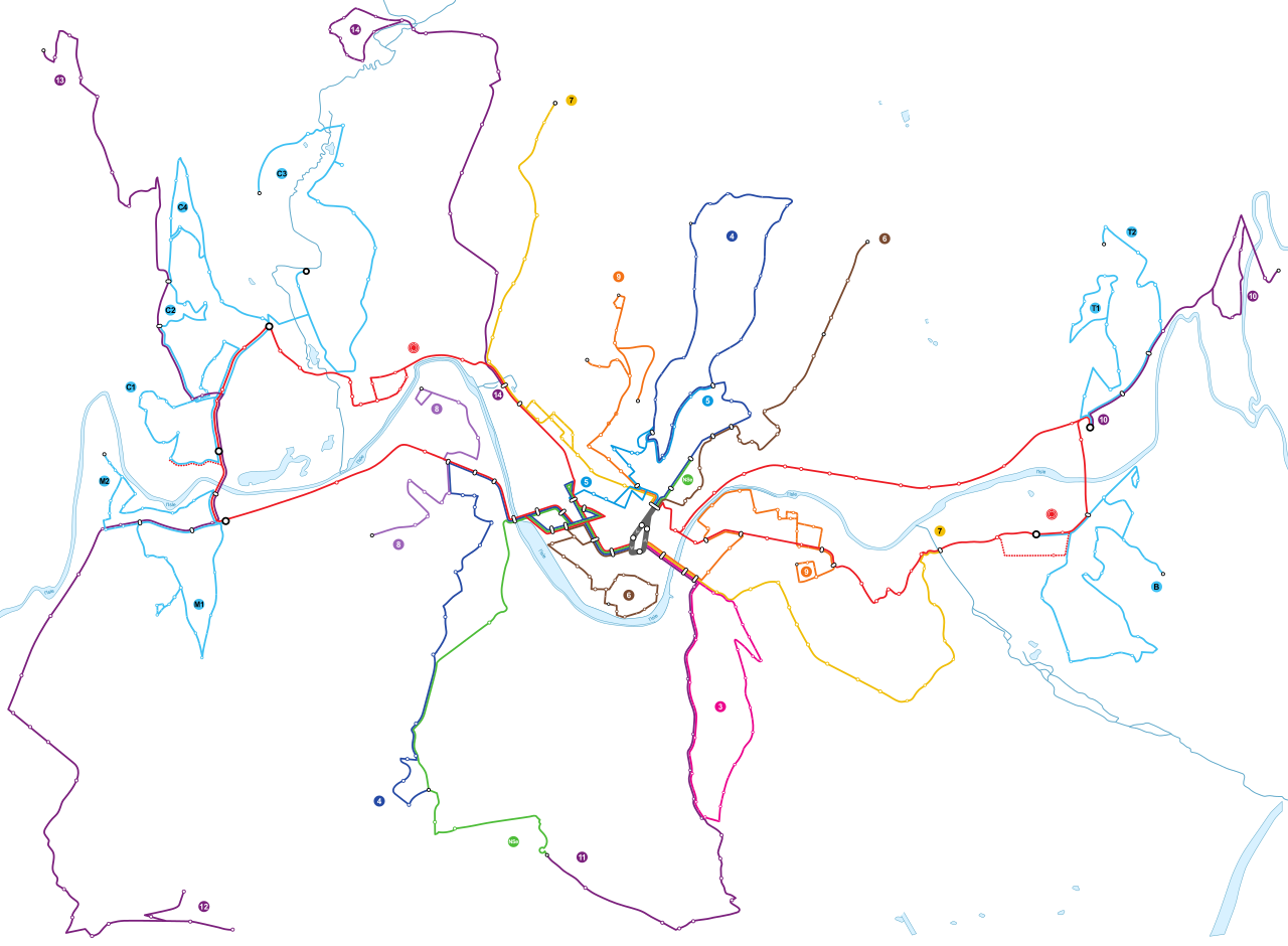
| 8 apr 2013 00:11 |  | 2.624 × 1.926 (834 kB) | Hawk-Eye | {{Information |Description ={{fr|1=Tracé géographique (à l'échelle) des lignes du réseau Péribus à Périgueux en 2013.}} |Source ={{own}} |Author =~~~ |Date =2013-04-08 |Permissi... |
Bestandsgebruik
Geen enkele pagina gebruikt dit bestand.
Globaal bestandsgebruik
De volgende andere wiki's gebruiken dit bestand:
- Gebruikt op fr.wikipedia.org
- Gebruikt op www.wikidata.org